Procedural Terrain Generator
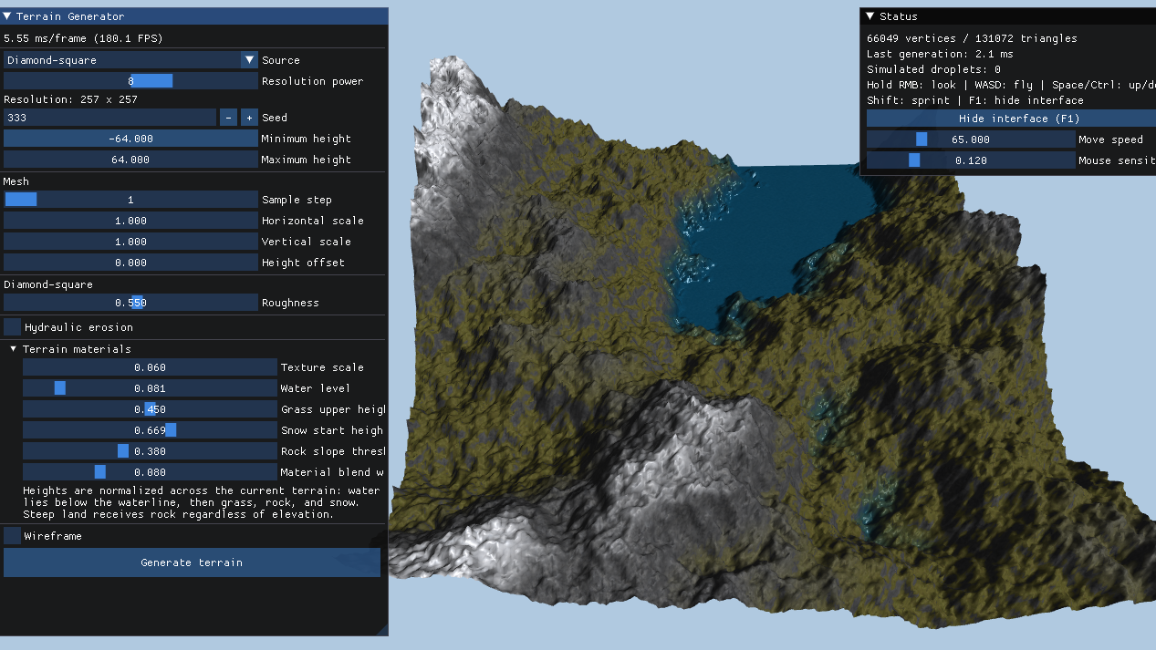
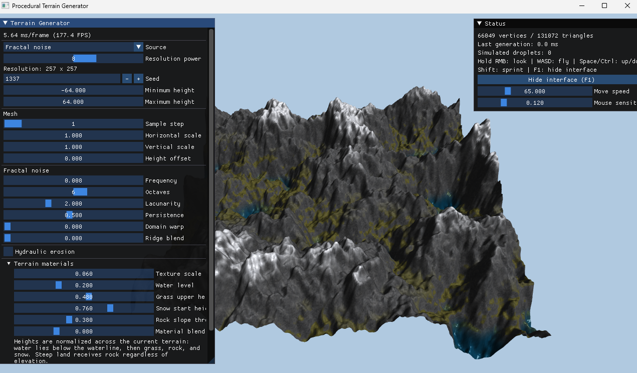
This project is an interactive terrain viewer built with C++ and OpenGL. It can generate repeatable landscapes from diamond-square or multi-octave fractal noise, load real geographic heightmaps, and simulate hydraulic erosion either as a one-time pass or continuously while the terrain is running.
Procedural generation
The two procedural generators are deterministic: the same seed and settings reproduce the same height field. Diamond-square exposes terrain roughness, while fractal noise includes controls for frequency, octaves, lacunarity, persistence, domain warping, and ridge blending.
Geographic heightmaps
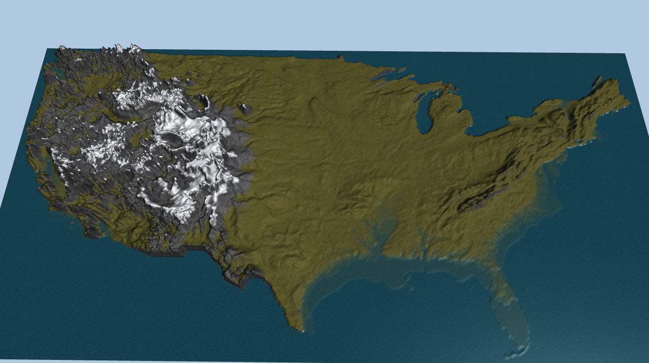
Image heightmaps are normalized, kept in their original orientation, and resampled to a common maximum footprint while preserving geographic aspect ratio. The viewer includes heightmaps for Australia, the contiguous United States, and Mars, with independent controls for map scale and vertical relief.
Live hydraulic erosion

Procedural terrain can be eroded with a droplet-based hydraulic simulation. The system supports both a fixed one-shot pass and a live mode that evolves the landscape over time. Controls cover the droplet rate, time scale, lifetime, erosion radius, inertia, sediment capacity, deposition, evaporation, gravity, and surface relaxation.

Version 1.0
This is the project in version 1.0, as a proof of concept of the algorithms and visualizer.